
A New CW3E Fieldwork Season Begins
February 10, 2021
The Center for Western Weather and Water Extremes (CW3E) 2021 fieldwork season is off to a busy start with a series of atmospheric river events that arrived in January. Due to COVID-19, this year’s field season looks a little different than in seasons past. Rather than rotating crews from week-to-week, two dedicated teams headed to Northern California for the full duration of the wet season to sample impactful atmospheric river events.
One team is launching radiosondes from the UC Davis Bodega Marine Laboratory in Bodega Bay, CA (coastal site), while the other is launching from a Yuba Water Agency warehouse in Marysville in Yuba County (Sierra foothills site). The teams have been following all county, state and federal recommended health and safety protocols to minimize COVID risk in the field amidst the ongoing pandemic. Teams have also coordinated with partner organizations including Yuba Water Agency and vetted all fieldwork plans through UCSD’s Research Ramp Up process to ensure we are following the most conservative protocols and staying safe.
One of the first atmospheric river events recorded this season was a moderate event from 26-29 January, with a peak integrated water vapor transport (IVT) of 604.3 kg m-1 s-1 and integrated water vapor (IWV) of 21.06 mm at Bodega Bay at 0556Z 27 January 2021 (Figure 1). The highest precipitation accumulations occurred at the Boyes Creek Canyon location in the Lake Mendocino watershed, which recorded over 2 inches of precipitation between 26 January and 29 January.
In between storm events, the remote field teams hope to install a new soil meteorological (SMOIL) station in the Yuba River Watershed and Micro Rain Radar stand-alone stations in South Lake Tahoe and Truckee, CA. They also plan to conduct maintenance on existing sites in the Russian River watershed.
The CW3E plans to continue releasing radiosondes, and if possible, collecting manual streamflow measurements and isotope samples during atmospheric river events throughout this winter season. The radiosonde data are shared with the National Weather Service WFOs throughout Western Region, as well as transmitted to the Global Telecommunications System for ingest into global numerical weather prediction models. This campaign supports current efforts to understand and improve forecasts of ARs in the Russian River and Yuba/Feather Watersheds, as a part of Forecast-Informed Reservoir Operations (FIRO). For an overview of our collaboration with Yuba Water Agency for data collection for FIRO, head over to their website and read their recent news post here!

A radiosonde launch completed at Bodega Bay (0556Z 27 January 2021) showing the peak IVT recorded at BOD during this AR: 604.3 kg m-1 s-1.

Chad Hecht (Meteorology Staff Researcher) releases a radiosonde from Marysville, CA, on 26 January.
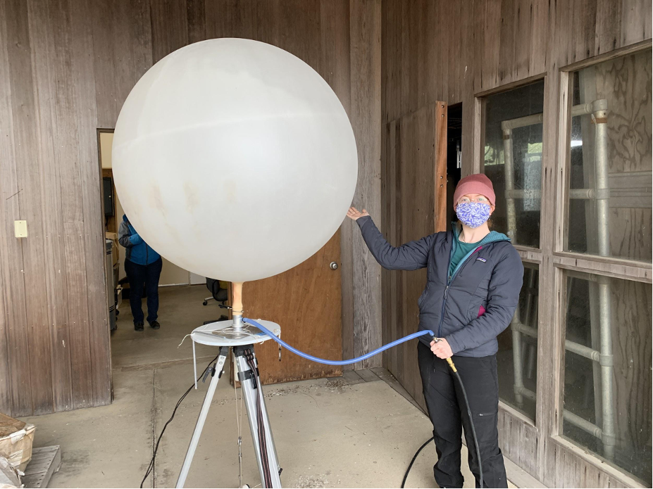
Ava Cooper (Field Researcher) fills a balloon in preparation for a radiosonde launch from UC Davis’s Bodega Bay Marine Lab in Bodega Bay, CA, on 26 January.